
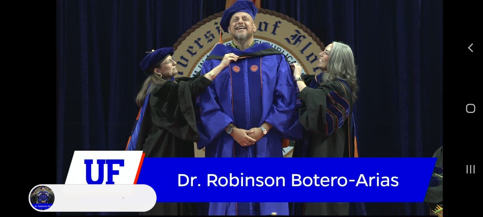
Congratulations to TCD’s Governance and Infrastructure in the Amazon (GIA) team led by UF-SFFGS PhD candidate Carla Mere and Dr. Andrea Chavez and Dr. Eben Broadbent, plus graduate students and colleagues from 4 Amazonian countries for the recent open access publication of “Participatory Mapping for Strengthening Environmental Governance on Socio-Ecological Impacts of Infrastructure in the Amazon: Lessons to Improve Tools and Strategies” in Sustainability.
Shortly before this paper went to print, co-author Dennis Edgar Lizarro Zapata tragically lost his life. Dennis was an amazing scientist and passionate conservationist who will be sorely missed by the Amazonian community and GIA family. This paper is dedicated to Dennis. To learn more click here.
Abstract. The Amazon region has been viewed as a source of economic growth based on extractive industry and large-scale infrastructure development endeavors, such as roads, dams, oil and gas pipelines and mining. International and national policies advocating for the development of the Amazon often conflict with the environmental sector tasked with conserving its unique ecosystems and peoples through a sustainable development agenda. New practices of environmental governance can help mitigate adverse socio-economic and ecological effects. For example, forming a “community of practice and learning” (CoP-L) is an approach for improving governance via collaboration and knowledge exchange. The Governance and Infrastructure in the Amazon (GIA) project, in which this study is embedded, has proposed that fostering a CoP-L on tools and strategies to improve infrastructure governance can serve as a mechanism to promote learning and action on factors related to governance effectiveness. A particular tool used by the GIA project for generating and sharing knowledge has been participatory mapping (Pmap). This study analyzes Pmap exercises conducted through workshops in four different Amazonian regions. The goal of Pmap was to capture different perspectives from stakeholders based on their experiences and interests to visualize and reflect on (1) areas of value, (2) areas of concern and (3) recommended actions related to reducing impacts of infrastructure development and improvement of governance processes. We used a mixed-methods approach to explore textual analysis, regional multi-iteration discussion with stakeholders, participatory mapping and integration with ancillary geospatial datasets. We believe that by sharing local-knowledge-driven data and strengthening multi-actor dialogue and collaboration, this novel approach can improve day to day practices of CoP-L members and, therefore, the transparency of infrastructure planning and good governance.


Recent Comments